Links to Cooloola Coast Maps & Road Conditions
(For Origin of the Place Name Cooloola Coast & others, Click on Highlighted Text)
To visit our following Cooloola Coast Shorebird Sites, Click on Albert to "Fly" you to the following -
Gympie Cooloola Tourism
(Follow the Links to “Maps & Guides”)
(Follow the Links to “Maps & Guides”)
Tin Can Bay
(Google Maps)
(For Origin of the Place Name Tin Can Bay & others, Click on Highlighted Text)
(Main Roads are sealed)
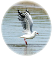
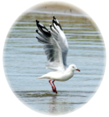
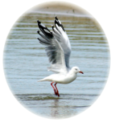
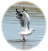
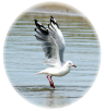
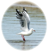
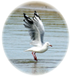
Here you may walk along the Foreshore at your ease, observing Shorebirds feeding on tidal flats at low tide.
Cooloola Cove
(Google Maps)
(For Origin of the Place Name Cooloola Cove & others, Click on Highlighted Text)
(Main Roads are Sealed)
Take the Bayside Road to the Mullens Picnic Area at its’ end
Take care with a short unpaved section just before this
(For Origin of the Place Name Mullens & others, Click on Highlighted Text)
Inskip Point
(Google Maps)
(For Origin of the Place Name Inskip Point & others, Click on Highlighted Text)
Follow the paved road to its end
Take care to observe the indicated speed limits
A short walk through bushland will soon take you to the shoreline
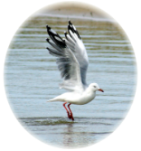
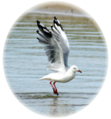
The small island you will see offshore is an important Tern roost, as well as a roosting Site for Shorebirds
Links To Cooloola Coast Accommodation Sites
For Accommodation to your liking, Click on Albert take you to
Gympie Cooloola Tourism
Tin Can Bay Chamber of Commerce
Cooloola Coast @ ExplorOz Treks
Inskip Point Camping Grounds - Inskip Point Camping
Rainbow Waters Holiday Park – Rainbow Beach Accommodation
(For Origin of the Place Name Rainbow Beach, Click on Highlighted Text)